
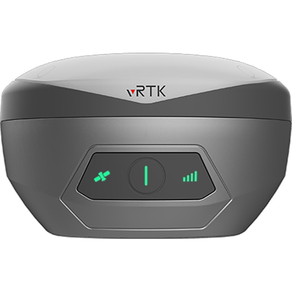



Description
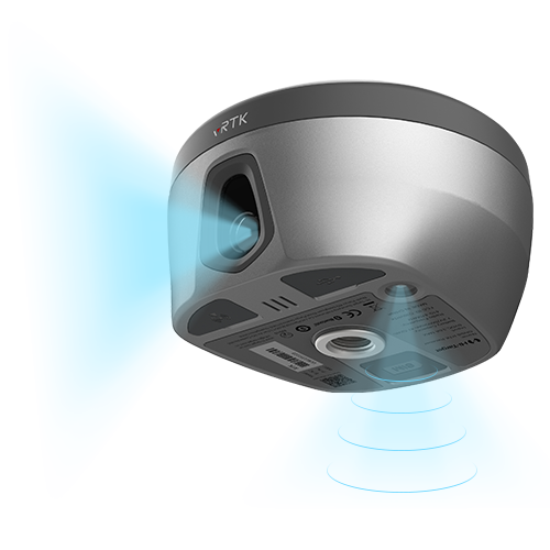
Dual Cameras for Image Survey and Live View Stakeout
Non-contact measurement greatly improves the usable range of GNSS and efficient safe operation.
Strong Signal and High-quality Data
-New generation GNSS SOC chip with 1408/1760 channels, supports new frequency points B1C, B2a, and B2b RTK decoding for Beidou-3 Satellites.
-Introduction of multi-frequency anti-jamming technology and multi-step adaptive filtering technology to ensure strong signals, high-quality data, fast fix, and high accuracy.
Abundant Industry Data Results
-Abundant types of data results meet the needs of different industry applications.
-Compatible with the mainstream modelling software to attain point cloud and 3D modelling in one step.
Detailed Specifications
8mm+0.7mm/°tilt
Tilt Survey Accuracy
1408/1760
Channels
BDS/GPS/GLONASS/GALILEO/ QZSS/NavlC/SBAS
Signal tracking
2cm
Image Stakeout Accuracy
2cm ~ 4cm
Image Survey Accuracy
Built-in 8GB ROM
Data Storage


Reviews
There are no reviews yet.